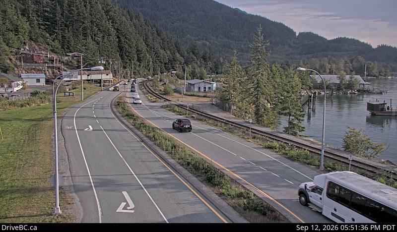
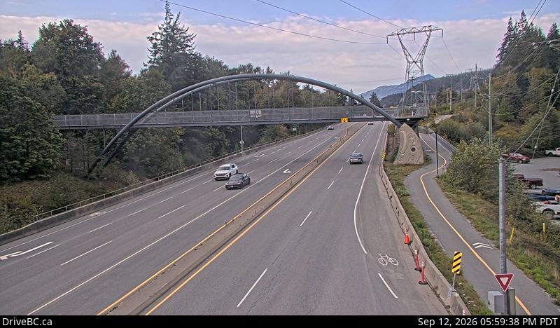
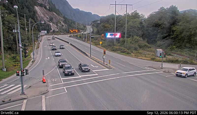
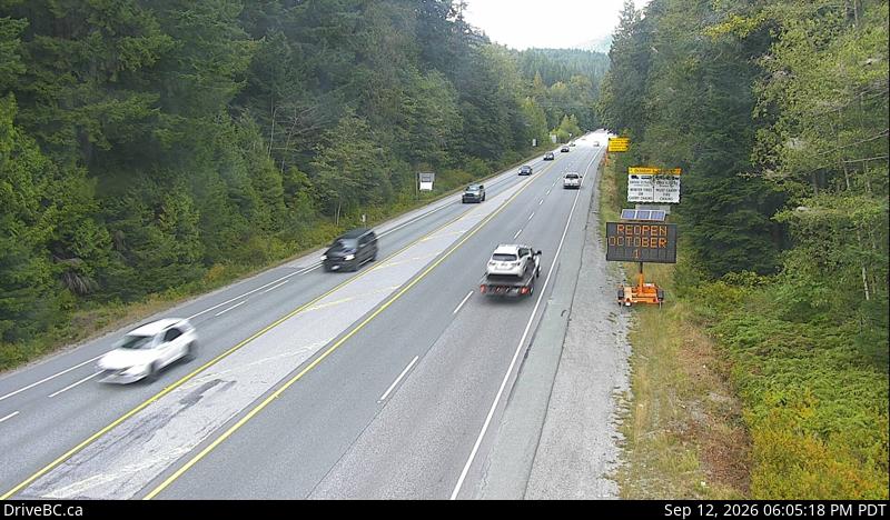
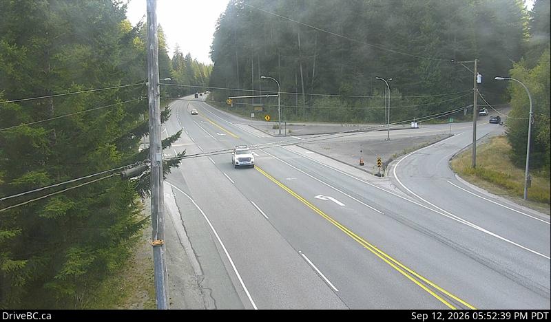
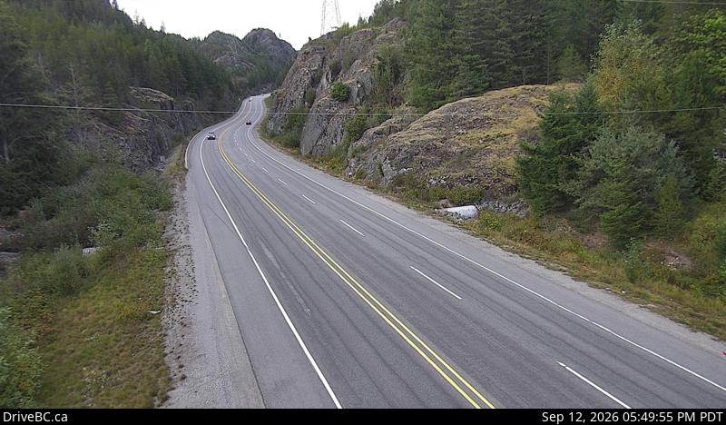
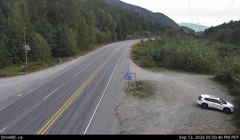
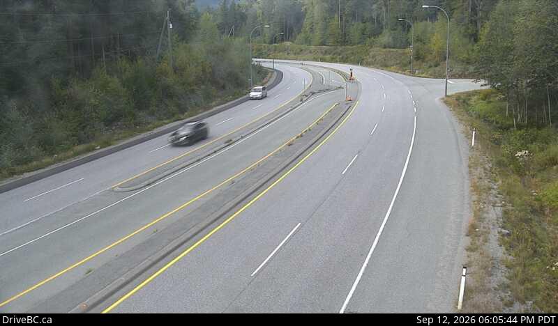
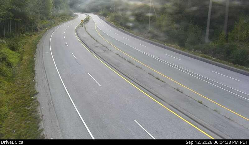
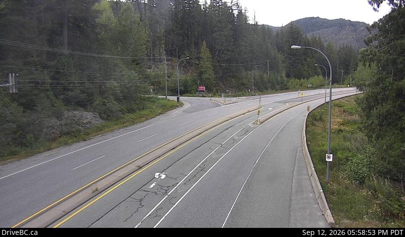
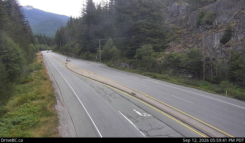
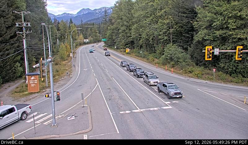
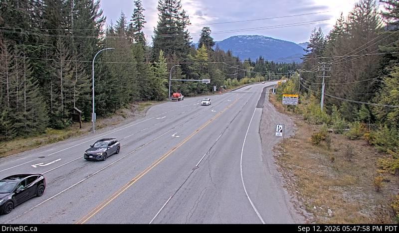
Drive Safely Today
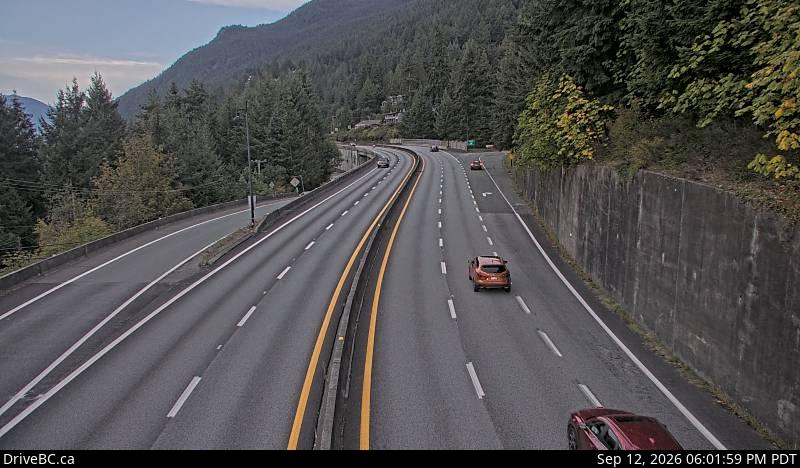
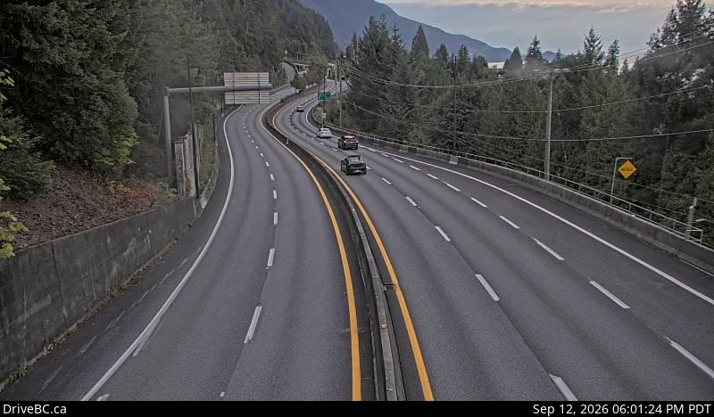
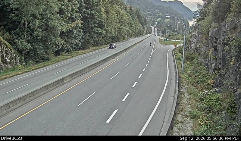
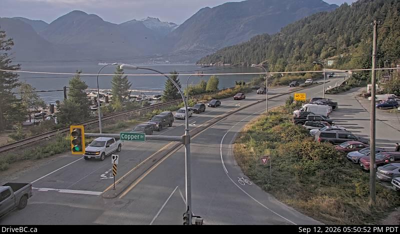
Great conditions — still a mountain highway
Hwy 99 is fast, scenic and heavily enforced. Keep right except to pass, use the pullouts if you've collected a queue behind you, and watch for cyclists and wildlife on the shoulders between Britannia Beach and Function Junction.
Tip matched to current conditions · no active hazards
Sea to Sky road conditions guide →
What DriveBC's wording actually means on Highway 99, where the corridor's conditions change between Horseshoe Bay and Whistler, and how often the highway closes.
Free alerts the moment the Sea to Sky Highway closes
FreeFree, year-round closure alerts — no account, no password, unsubscribe anytime.
Push alerts on this device
Instant notification even when the tab is closed.
Driver reports
No driver reports yet. Official DriveBC data is the source of truth above.
FAQ
What is the Sea to Sky Highway?
The Sea to Sky Highway is Highway 99 between Horseshoe Bay in West Vancouver and Pemberton, running through Lions Bay, Furry Creek, Britannia Beach, Squamish and Whistler. It's the main — and effectively only — road link between the Lower Mainland and Whistler / Pemberton.
How current are these Sea to Sky Highway conditions?
Conditions are refreshed from DriveBC's official Open511 feed every 5 minutes. Official data can lag fast-moving incidents by a few minutes, which is why we also show driver reports below the official status.
What's the alternate route when Highway 99 is closed?
There is no practical highway alternative between Squamish and Whistler. Options are waiting for it to reopen, or (from the Lower Mainland) the very long Duffey Lake / Highway 12 detour via Lillooet — several hours, mountain passes, not a good winter option.
Is this site free?
Free to check, free email alerts, no account required. We run a small number of hand-placed local sponsorships — no programmatic ads, no retargeting pixels, no third-party tracking scripts, ever.
Where does this data come from?
DriveBC's public Open511 API (api.open511.gov.bc.ca). We filter to events on the Sea to Sky corridor (Highway 99 between Horseshoe Bay and Pemberton) and classify them as open, delayed, or closed.
Why might one direction show differently than the other?
Incidents like single-lane closures, construction, crashes, or rockfalls often only affect one direction of travel. When southbound (toward Vancouver) and northbound (toward Whistler) don't match, we split the banner so you see each direction's status independently.
How long does it take to drive the Sea to Sky Highway?
Typically 75–95 minutes each way between Horseshoe Bay and Whistler under normal conditions, depending on traffic, season, and time of day — longer on weekends and during ski season. This page shows live current drive times above, compared to typical conditions, so you can see whether today's trip is running normal, slower, or significantly delayed.